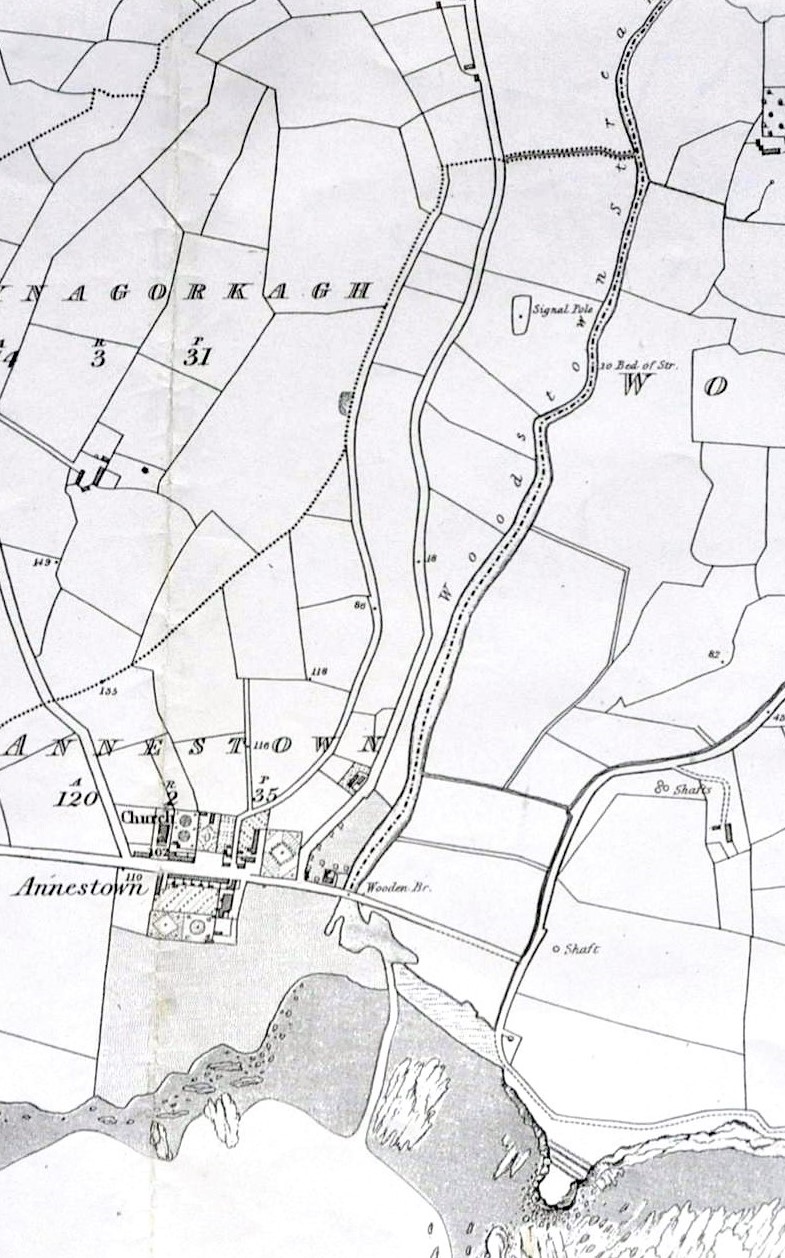
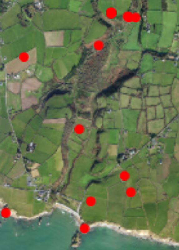
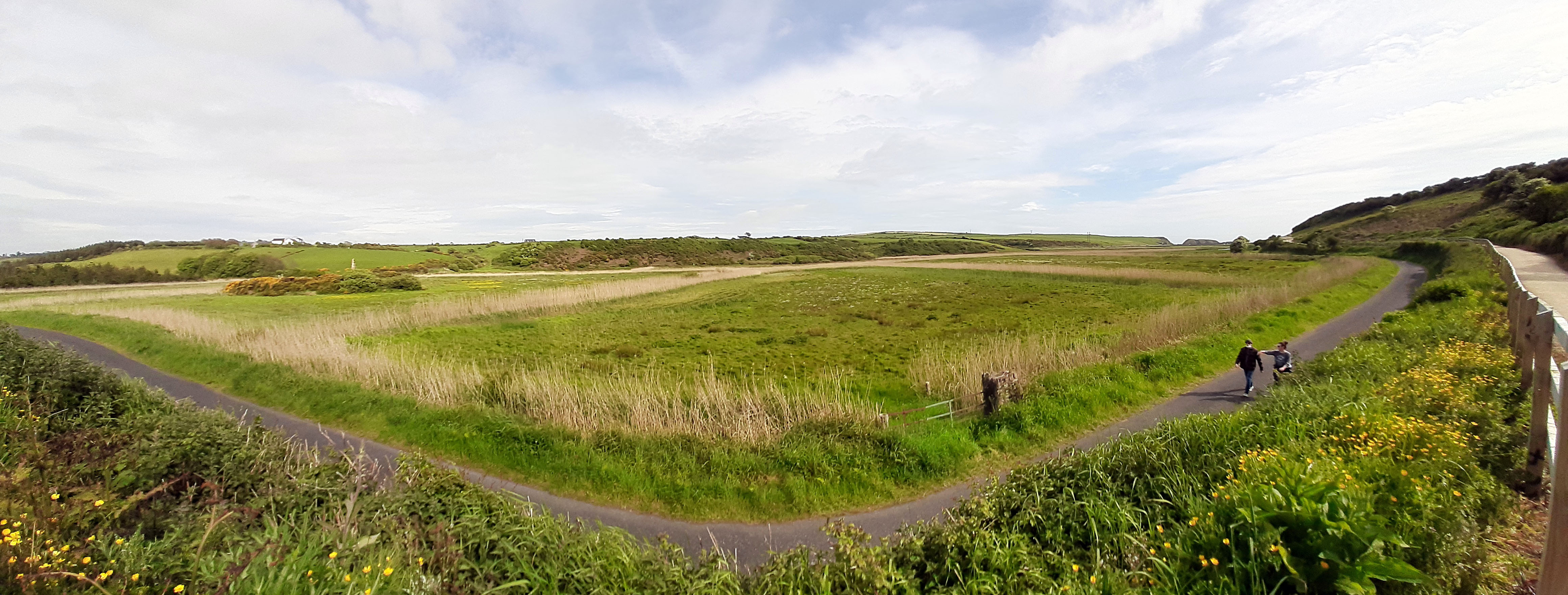
The river Anne enters the sea at Annestown, Co Waterford, on the R675 between Tramore and Dungarvan. Before the bridge was built here the, estuary ran c. 2km inland to the prominently sited Dunhill Castle where it was possible to cross the river before the present bridge was built.
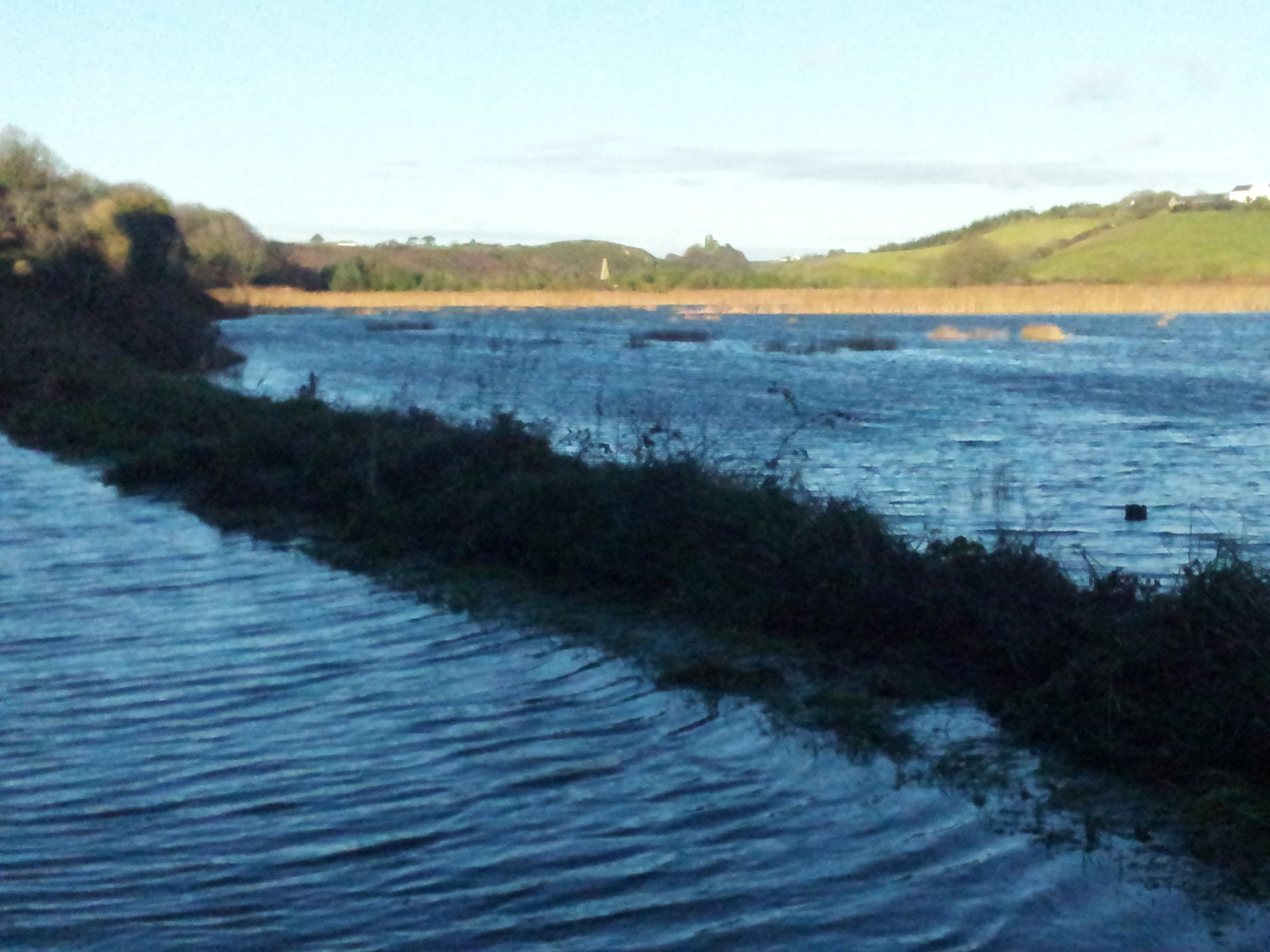
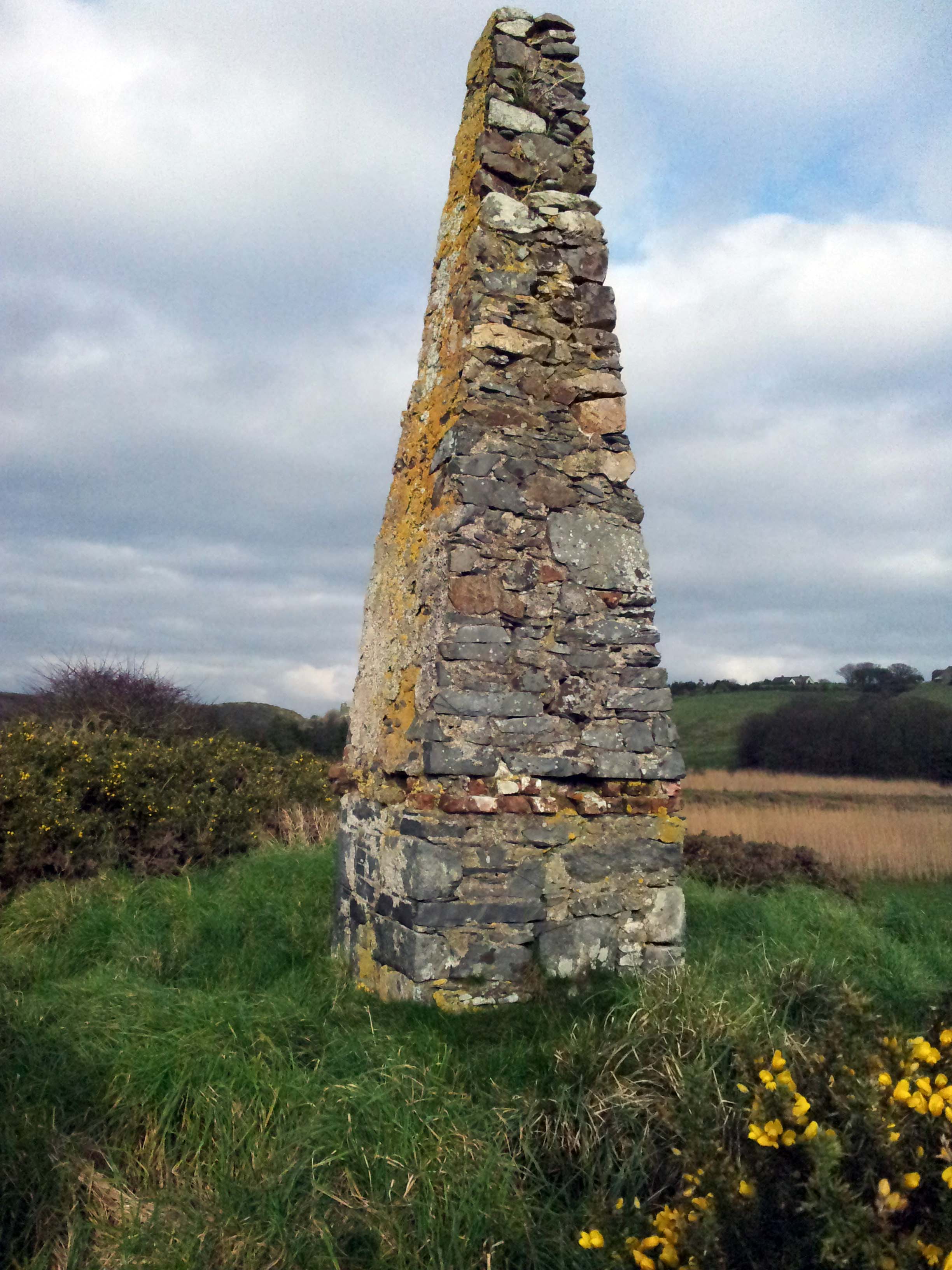
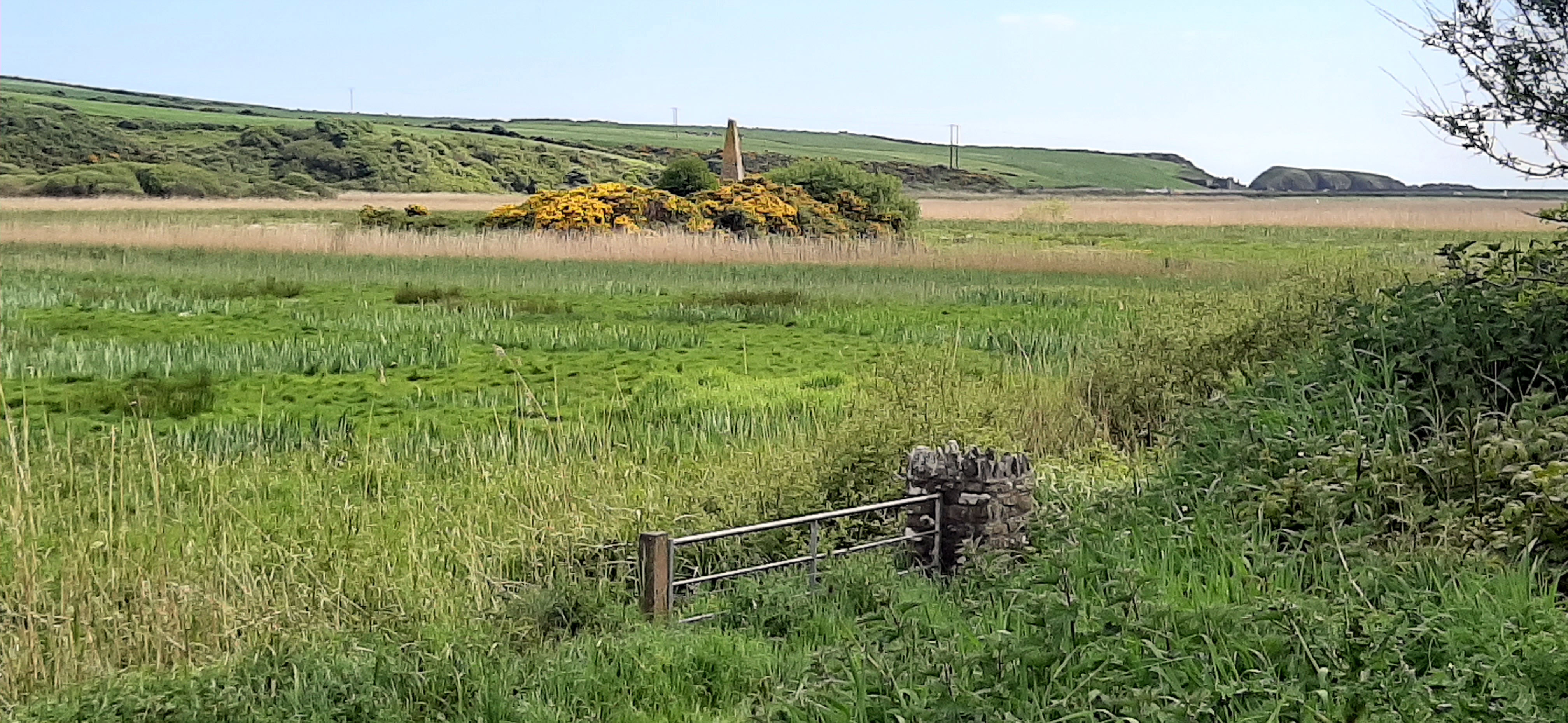
A simple obelisk sits on top of a large outcrop in the middle of what is known locally as the bog (turf was cut here during WWII). The most logical explanation is that the obelisk marks the rock, as a warning to boats. The first edition of the 6″ map marks the point as “Signal pole”. On later editions it is marked “monument”. So far so good. BUT some local people say that this is a monument to greyhound; others say it is a monument to a former much disliked landowner/magistrate George Cole. Others think it has something to do with a wolf – which may relate to the fact that Annestown House and much of the village belonged to the Palliser family. Captain John Palliser (1817-1887) led an expedition to discover western Canada and brought home a wolf-dog (and three buffalo) to his home near Kilmacthomas.


No Comments
Add a comment about this page