One of the most popular activities in Kildare Town is that of walking and everyday you meet people walking around by Tully and up past Kildare Village into the Town or vice versa. People who regularly take exercise along this route or who are simply interested in the history and heritage of the town may be interested to know that this was developed into a Heritage Trail/Slí na Sláinte called ‘The Hundred Acres.’
The title of my little booklet ‘The Hundred Acres,’ came out of a conversation with Stephen Talbot who said that part of the route now enjoyed by walkers ‘around Tully’ was always known locally as ‘The Hundred Acres.’ I did a bit of checking and it is a local name for most of Tully West townland, i.e. the piece of land between Nurney Road/The Grey Abbey Road and Tully Road which forms a natural triangle between St. Brigid’s Square, Newtown Cross Roads and Tully junction. In researching an article on the Black Abbey (the ruins of the church can still be seen in the graveyard at the National Stud) I found mention in inquisitions taken at the dissolution of the monasteries that the immediate land attached to the Knights Hospitaller’s Preceptory, the ‘villa of Tully,’ amounted to some 160 acres of arable land – 60 acres of demesne land beside the Preceptory and another 100 acres of land which probably represented large portions of what came to be known as Tully West and Tully East. Could this term, ‘The Hundred Acres,’ have survived in popular memory from the thirteenth century since most of these lands were granted to the Hospitallers prior to 1212 A.D.?
The name, ‘Tully,’ which has many variations, comes from the Gaelic ‘Tullach’ meaning ‘hill’ or ‘rising ground’ and some historians suggest that this may have been the site of an even older Irish monastery called ‘Tulach Fobhair’ (discounted by Thomas O’Connor in the Ordnance Survey letters). It is the Hospitallers, however, who built the Black Abbey.
Essentially the route begins on the Market Square at the Heritage Centre and goes down Claregate Street, Monasterevin Road/Turnpike Road turning at the Modus corner, continuing past the Village to Newtown Cross, left to Tully and left again back into Town and is about 4.2 km.
Look out for Graham’s Bottoms, Teahouse Hill, Armour Bridge and the Greallachs to name but a few of the local places of interest along the route.
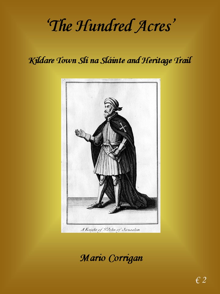
![The Hundred Acres [Front Cover ] | Mario Corrigan](https://www.ouririshheritage.org/wp-content/uploads/2020/05/Front-96dpi-1-1-494x658.jpg "Front-96dpi-1")
![The Hundred Acres [Rear Cover] | Mario Corrigan](https://www.ouririshheritage.org/wp-content/uploads/2020/05/Rear-Cover-bright1-1-494x658.jpg "Rear-Cover-bright1")


Comments about this page
Well done Mario. Good to put that on record.
Could also put in a plug for the excellent Heritage Centre in the middle of the town – not to mention the famous walking tours! For when we can move about again…
Add a comment about this page