The place I’m going to describe is ‘the Rocks’ in Wexford town. It has no red or blue dots on any official heritage map. No monuments or buildings of any note. Does that make it a heritage free zone? No, because it has lots of other heritage.
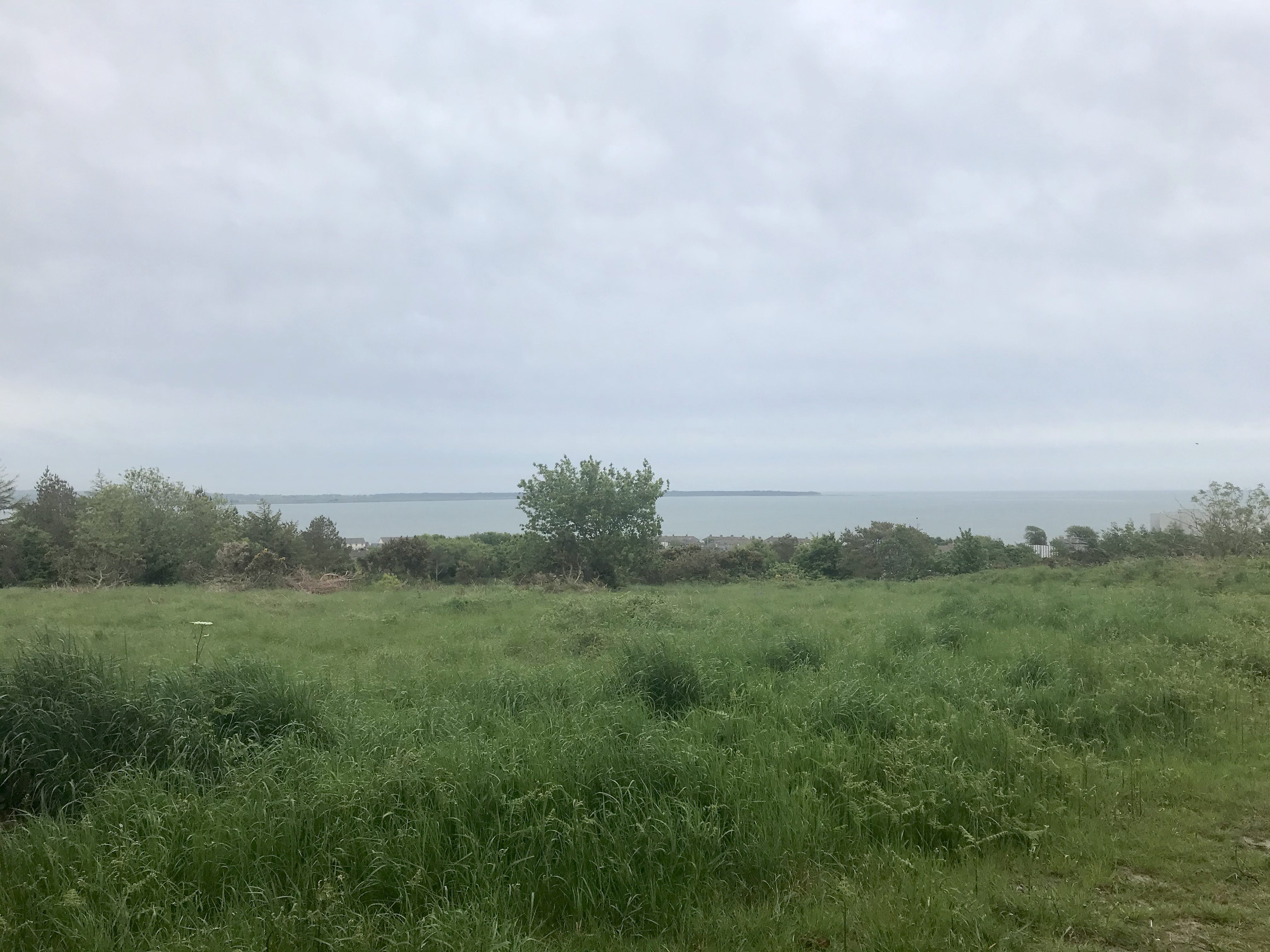
This is a rocky area with paths and open green spaces. Housing estates and streets surround this area and it seems it was not built upon as it was a back area used for quarrying. The Geological Survey of Ireland’s records tell me that the Rocks are actually ‘white, purple quartzites with slates’ so there is a very old form of heritage here. The area is bounded to the south by fields and a growing number of housing estates to the west. To the north is the new Garda station and the Tesco store. To the east lies the sea of Wexford Harbour. But between the sea and the Rocks lies the Faythe, which is an area of old housing outside the medieval town walls. This name comes from the Irish word faiche for open green space. The local hurling club the Faythe Harriers takes its name from this.
In the Rocks area sometimes I can smell sulphur from the paths and I was told years ago that this was due to slag from a furnace in the nearby Pierces foundry used to build up paths. This enormous factory for ploughs and all kinds of agricultural equipment is now long gone and the local Tesco store occupies its site.
We grew up as children playing in the Rocks, everything from hurling matches to school sports days to all kinds of adventures. My late grand father introduced us to the area by bringing us there as children. As a young child my late mother went down a snowy slope called Hilly Holly on a homemade toboggan, perhaps this was during the bitter winter of 1947. The adjoining townland of Cromwellsfort overlooks Wexford town and is supposedly named from the time Oliver Cromwell used it as a high point for his artillery during the fatal assault on Wexford in 1649. Tradition has it that Trespan Rocks was also used by his forces.
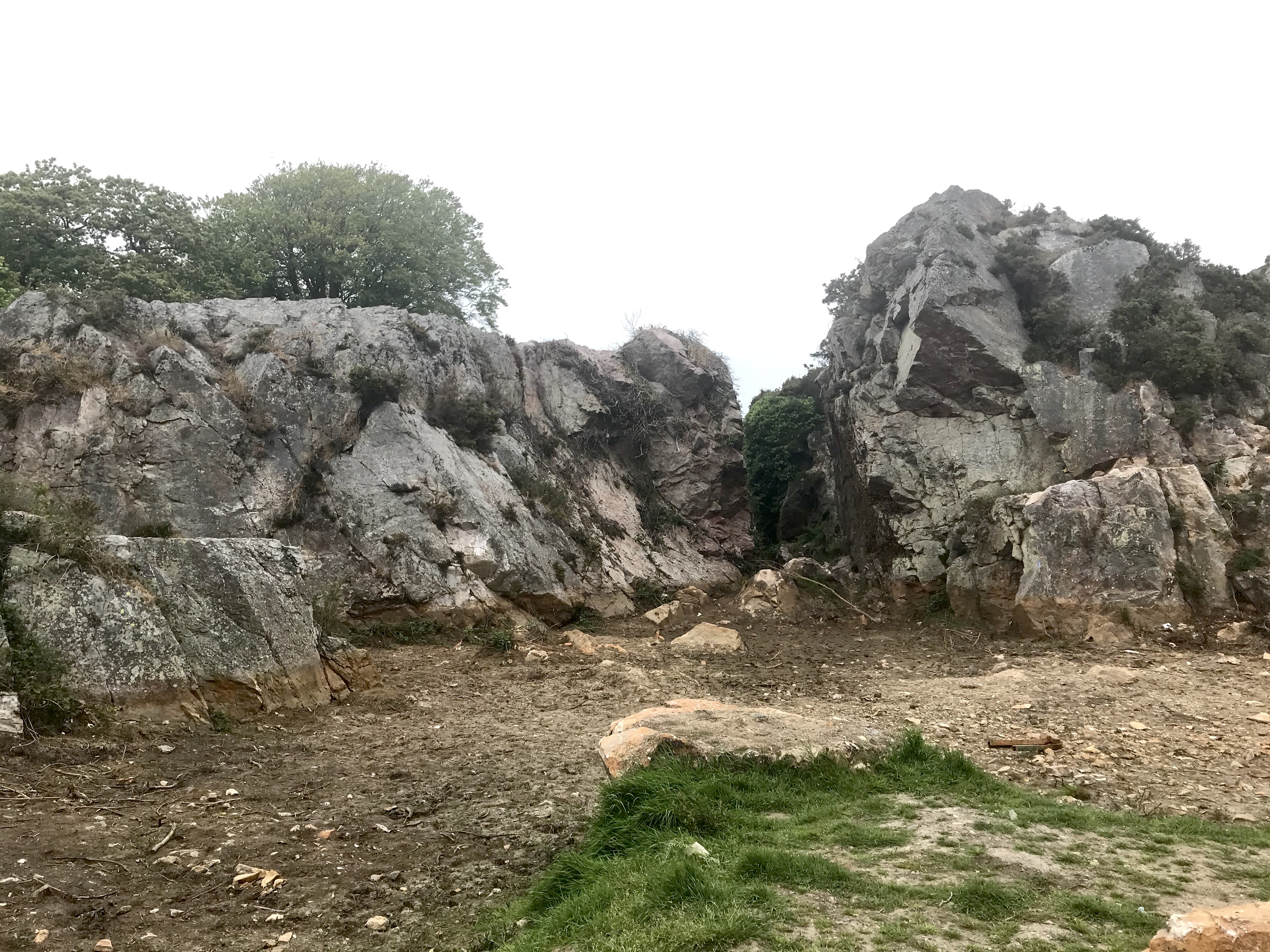
As a child we were fascinated by a narrow gap in the rock at Trespan. We called it a gulch and my grandfather pointed out a chair like feature high on the side of this gulch. This was known as the ‘Devil’s chair’ where we imagined all kinds of terrible things must have happened.
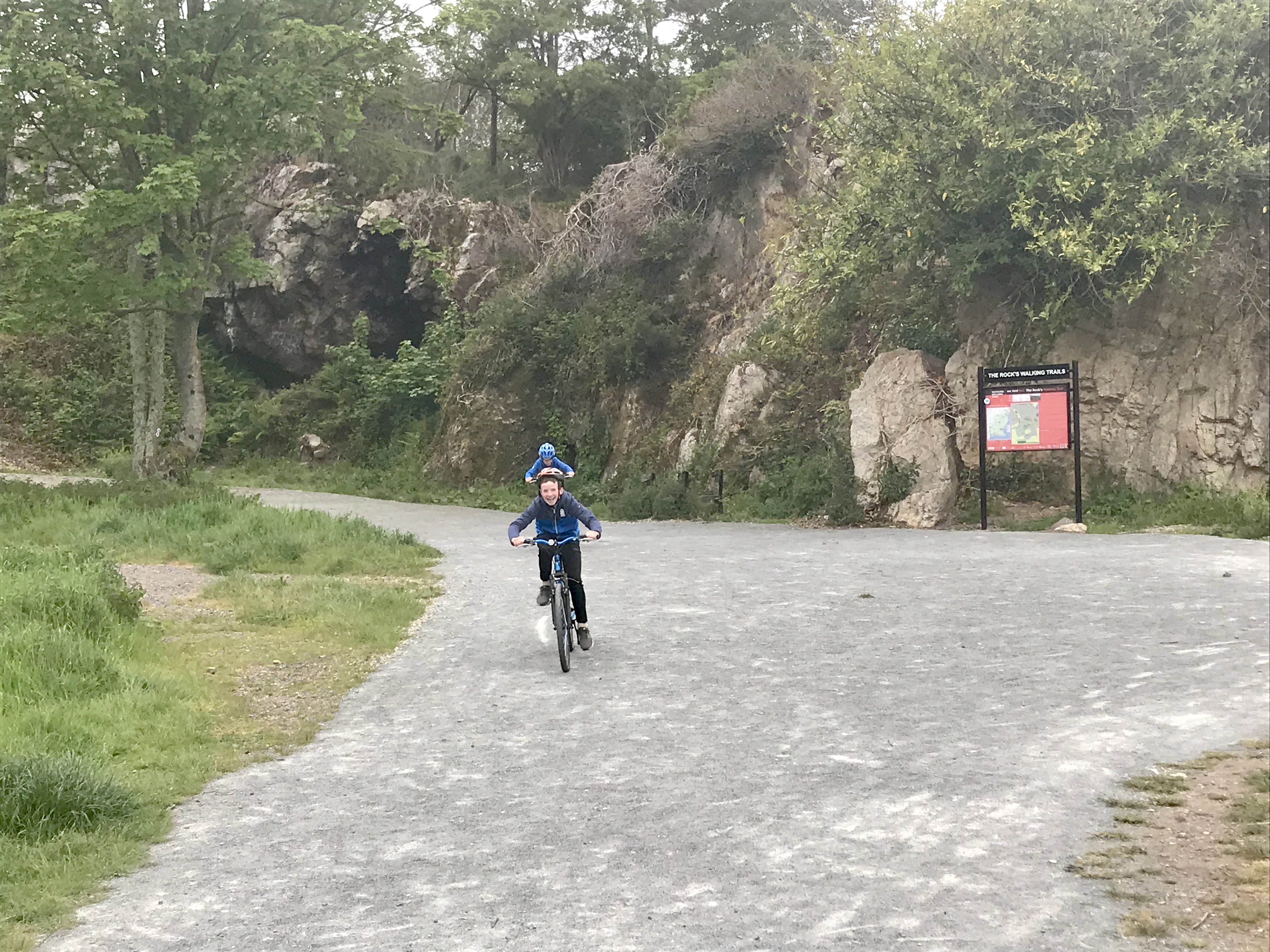
Lately, during the Covid-19 2k and 5k restrictions I rediscovered the Rocks and introduced my children to it. Or maybe it was the other way around as they found a shortcut in and I started to remember. I’ve shown them the Devil’s chair (no nightmares yet), we go running and we started to bike around the new network of paths. The local football club St Mary’s of Maudlintown has done amazing work to turn the bumpy saucer-like field of my youth into a fantastic GAA pitch with a fine new club house, while new trees have been planted, paths laid out and interpretative signage erected. People have started using it again and remembering its heritage. No red or blue dots for monuments or buildings, no famous habitats but lots of heritage.


No Comments
Add a comment about this page