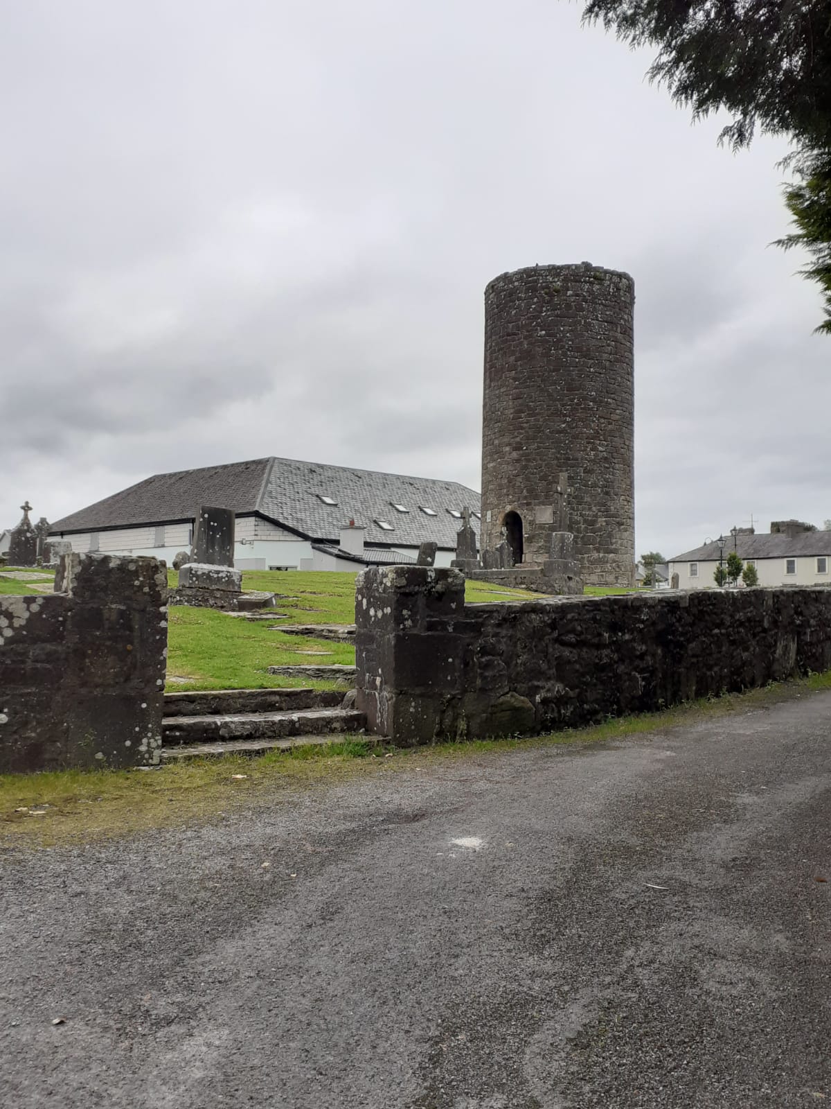
Balla, Co. Mayo

The Town of Balla or Ballagh / Bal is important to the tradition of County Mayo with St. Patrick. During the fifth century the the ‘Tochar Phadraig’ marked the route to Croagh Patrick via Ballintubber also Mayo Abbey. St. Patrick’s name is also associated with the holy well near the round tower. Originally the village was known as ‘Ros Dairbhreach’ or ‘The Height of the Oak Wood.’ [i]
Samuel Lewis’s Topographical Survey of Mayo contained statistics from the first complete Census of Ireland in 1831. Ballagh or Bal was a market-town in the barony of Clanmorris also six miles southeast by east from Castlebar within the province of Connaught. The parish had one thousand, five hundred & eighty-six inhabitants. This town consisted of one long street that contained seventy-five houses. A constabulary police station with petty sessions for the district was held within the court-house. [ii]
Balla was known originally as ‘Ros Dairbhreeach’ or ‘The Height of the Oak Wood.’ Coordinates are 53 48 0. north, 9 8 0 west. (Dympna Joyce) [iii]
Footnotes
[i] Balla History (https://www.mayo-ireland.ie/en/towns-villages/balla/balla-history.html) [Assessed 23rd June 2021]
[ii] Articles (https://www.mayo-ireland.ie/en/towns-villages/balla/balla-history-lewis-topographical.html) [Assessed 23rd June 2021]
[iii] Dympna Joyce [Assessed 12th May 2021]


No Comments
Add a comment about this page